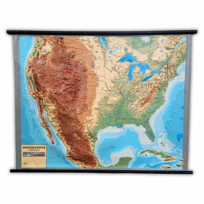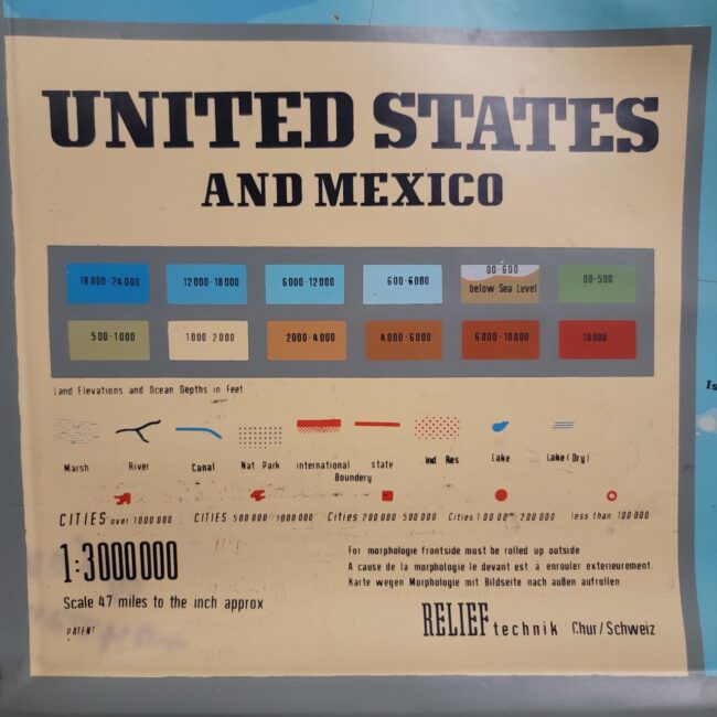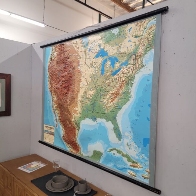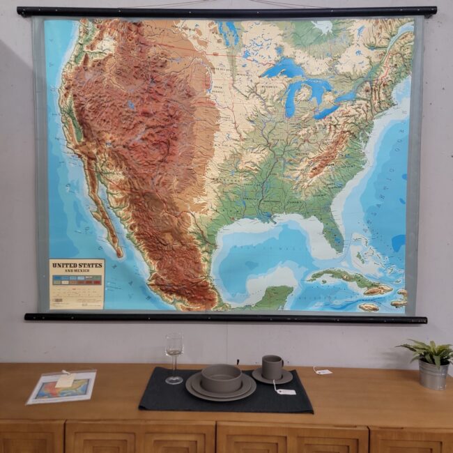


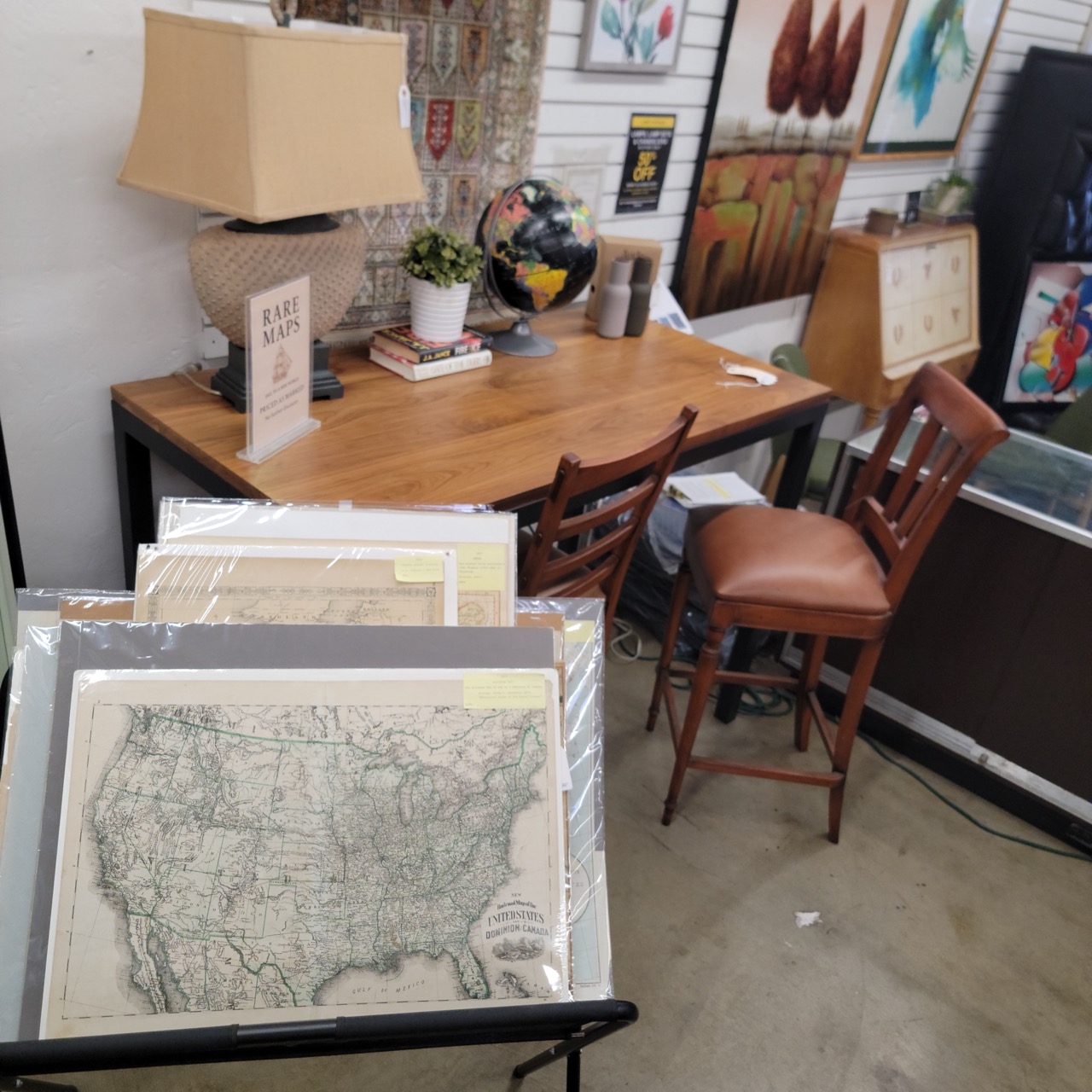
Description
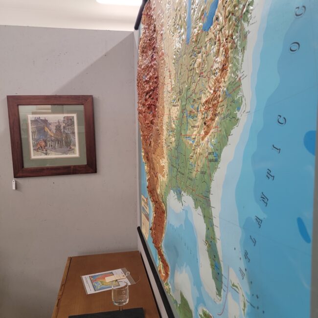
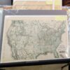
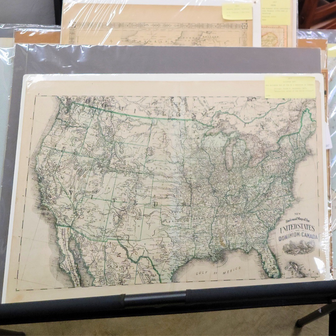
This 1875 Hardesty Railroad Map of the United States and Dominion of Canada is a genuine 19th-century cartographic artifact from the Chicago publisher Hiram H. Hardesty, well known for contributing detailed maps to the Historical Atlas of the World Illustrated. Hardesty’s railroad maps are highly valued among collectors because they capture a transformative moment in North American history, when rail lines were becoming the backbone of commerce, migration, and industrial expansion.
🕰️ Historical and Cartographic Significance
Railroad maps from the 1870s serve as both navigational tools and snapshots of national ambition. This edition shows:
-
Major rail corridors connecting Eastern population centers to developing Western territories
-
Early railroad penetration into the Rockies, Plains, and Great Lakes regions
-
Detailed county lines, river networks, and topographical hatchings
-
Engraved state boundaries and labeled townships typical of Hardesty’s 19th-century style
-
Characteristic green hand-coloring marking key rail routes
Maps like this were produced during the critical decades between the Transcontinental Railroad (1869) and the explosive growth of regional rail companies that reshaped settlement patterns, industry placement, and national trade. As a historical document, it is both a functional artifact and a record of the economic optimism of Reconstruction-era America.
📜 Antiquarian Features
This original print displays the markers expected in authentic 19th-century cartography:
-
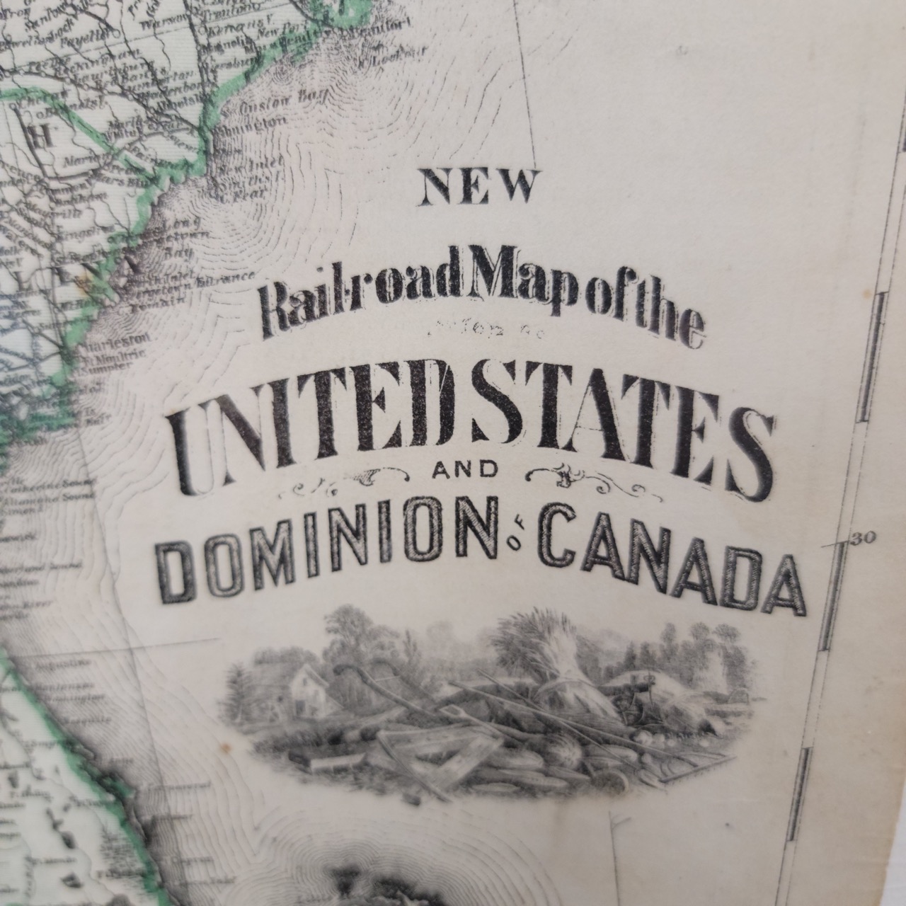
Plate engraving visible in line work
-
Light toning, mild foxing, and gentle age wear consistent with antique paper
-
Period-accurate typography including the distinctive “UNITED STATES AND DOMINION OF CANADA” title cartouche
-
Aesthetic green border lines and route highlights typical of atlas hand-coloring
These qualities reinforce its credibility as an antiquarian map, not a reproduction.
⭐ A Decorative Statement for Modern Interiors
Minimalist homes often face a design dilemma. Clean lines and open spaces look elegant, but without a focal point they can feel sterile, impersonal, or unfinished. Modern interiors need depth and meaning to balance the smooth surfaces and neutral tones.
Enter Mythic Modern — a rising design movement that blends the future with fragments of the past. It celebrates a world where minimalism gains warmth through objects with story, history, and soul.
This 1875 Hardesty map is a perfect Mythic Modern piece:
-
It adds intellectual character without visual clutter
-
Its subtle aging and engraved detail create organic texture
-
Its historical weight gives a sterile room a sense of legacy and narrative
-
It works as a conversation anchor in offices, libraries, studios, lofts, or gallery walls
Whether framed or displayed in a stand sleeve, it enriches the atmosphere of any contemporary space by tying modern living to 150 years of human movement, ambition, and infrastructure.
📚 Ideal For:
-
Collectors of antique maps and atlases
-
Rail history enthusiasts
-
Interior designers seeking historical focal points
-
Academic or library-inspired interiors
-
Mythic Modern design schemes
-
Office, study, or reading room wall displays